Forecasters were flummoxed by today’s High Country haze.
According to Air Now, air quality in Summit County and the Leadville area was the worst in the state around midday.
That’s when temperatures crept close to a new record. Temps were 61 degrees Fahrenheit at the record-keeping station in Dillon, just one degree shy of the all-time high of 62 degrees in 2020 and 1924.
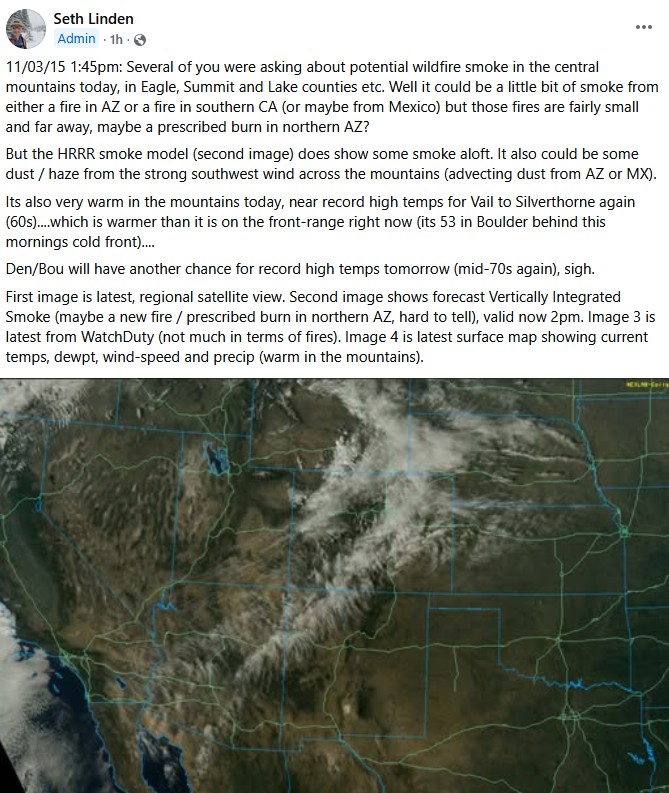
Amateur forecaster Seth’s Weather Report had a theory about the haze – it was a cold-air inversion. Summit today was nearly 10 degrees warmer than the Front Range (just one day after Denver set a new record high), and that might have trapped smoke from prescribed burns and wildfires across the region. Combine it with a dash of dust from southwestern dust storms and Ski Country was unusually warm, dry and hazy today.
By 5 p.m., when the sun went down and temperatures dropped into the low 50s, the haze started to clear.
Summit did not set a record high, but today was one of the warmest on this day in 125 years of tracking at the NWS weather station in Dillon:
Nov. 3 high temps (Fahrenheit)
- 62 degrees… tie, 2020 and 1924
- 61 degrees… tie, 2025 and 2015
- 60 degrees… 1931
- 59 degrees… tie, 2005 and 1915
- 58 degrees… 2017