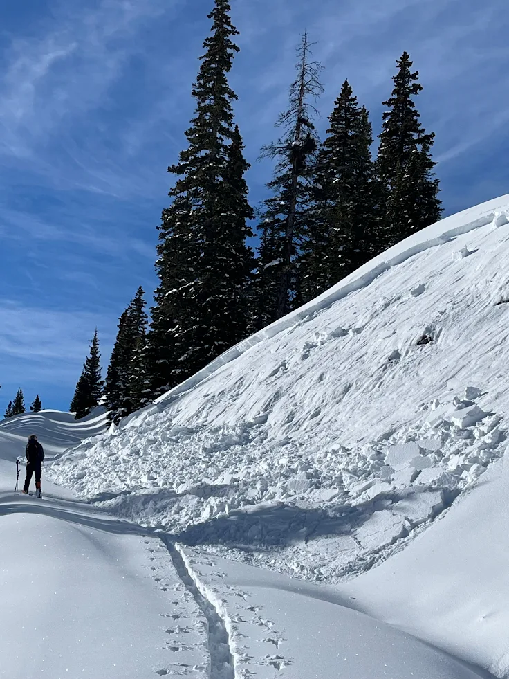
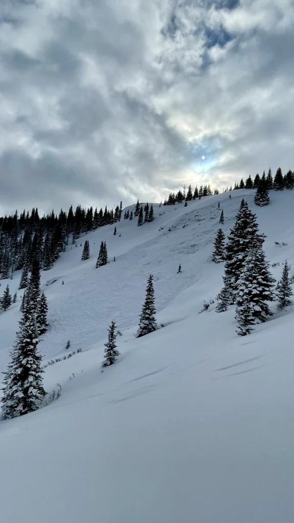
Cover image from recent avalanche on Buffalo Mountain in the Gore Range via CAIC.
Avalanche forecasters are comparing Summit County snowpack right now to a rattlesnake with no rattle.
“Since the new year, the snowpack has been screaming at us, like an angry rattlesnake, in the form of cracking, collapsing, and remotely triggered avalanches,” the CAIC writes in its forecast for the northern mountains. “These handy warning signs are decreasing, and while we continue to get reports of avalanches, we’re seeing fewer reports of shooting cracks and audible collapses before they occur. Diminishing feedback from the snow is turning our snowpack into a rattlesnake without a rattle. The problem is that you can still get bit, and the consequences will likely be dire.”

Adding a whole pile of snakes to the pit is an incoming weekend storm and winter weather advisory.
National Weather Service is forecasting 4 to 8 inches for Summit County from 11 p.m. today until 11 p.m. tomorrow.
When snow tapers off winds will return up to 45 miles per hour.
Sunday’s forecast calls for light snow, wind and cold.
Check your avalanche forecast before heading out. It is updated by 6 p.m. daily.

