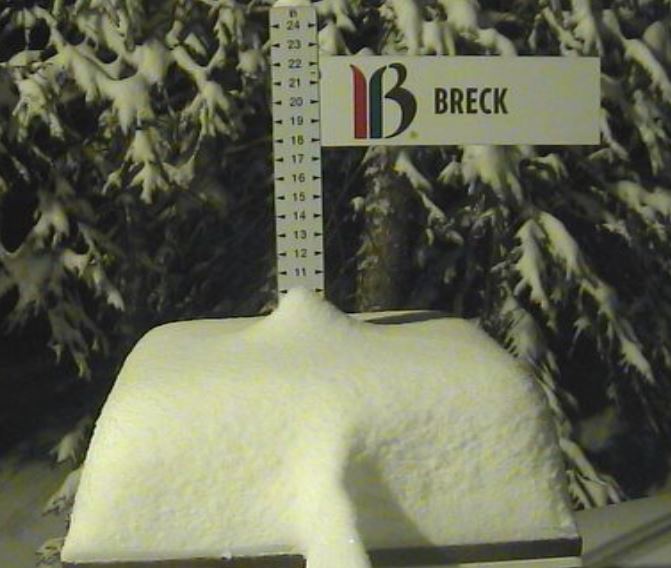
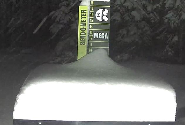
Powder hounds across Summit County woke up to MORE fresh snow this morning:
9” at Breckenridge

8” at Copper

8” at Loveland
6” at Arapahoe Basin

5” at Keystone
Those are the deepest totals in the state today: 4” at Winter Park, 4” at Vail, 3” at Steamboat, 1” at Beaver Creek.
Add this morning’s bounty to a foot (or more!) in the past week and Summit is sitting pretty after a painfully dry December.
Just look at Breckenridge, where 9” in the past 24 hours is almost more snow than Breck claimed in 21 days to start the month.
Copper is still sitting on the most total snowfall in Colorado with 142” this season. That’s almost as much as they had through end of January last year (155”).
Local snowpack today is officially above average (103%) with the deepest totals at Fremont Pass (118%) near Copper and Grizzly Peak (122%) east of the Eisenhower-Johnson tunnels.
Avy danger in the red
Fresh snow brings a special avalanche warning to Summit and the Vail area, from Vail Pass east to the Tenmile Range and Loveland Pass, and then south into Mayflower Gulch and the Leadville area. Berthoud Pass is in there too.
For the first time this ski season, danger is High today at most elevations. Forecasters do not recommend traveling in avalanche terrain, especially in the high alpine.
Strong gusty winds might only make conditions worse. At sunrise this morning most of the High Country was buffeted by gusts over 40 miles per hour, as strong as 66 miles per hour at Loveland Pass.
